Drone Photography Guide: Aerial Photography and Videography in Singapore (2026)
Why Drone Photography Matters for Business
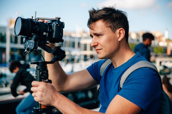
Drone photography singapore has transformed how businesses capture and present visual content. Aerial perspectives that once required expensive helicopter hires are now accessible through unmanned aerial vehicles (UAVs) at a fraction of the cost. For businesses operating in Singapore’s dense urban landscape, drones unlock visual storytelling angles that ground-level photography simply cannot achieve.
The business case for drone photography extends beyond aesthetics. Aerial imagery provides functional value for property developers showcasing site locations, event organisers documenting large-scale gatherings, construction companies monitoring project progress, and brands creating distinctive marketing content that stands out in crowded digital feeds.
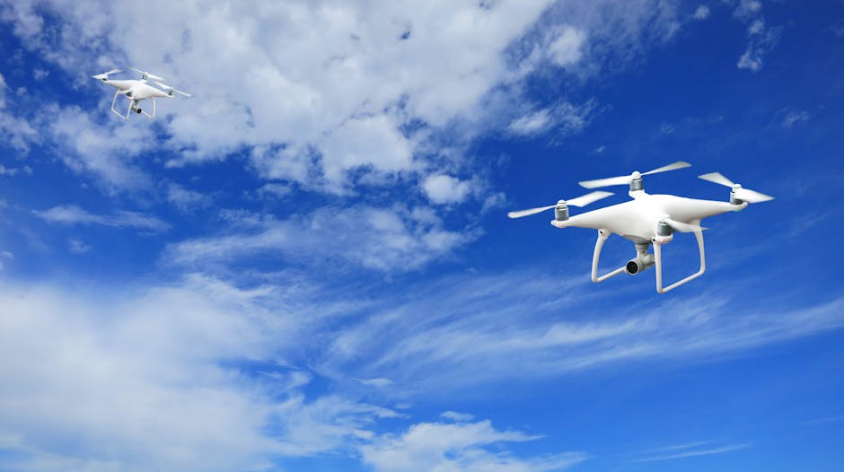
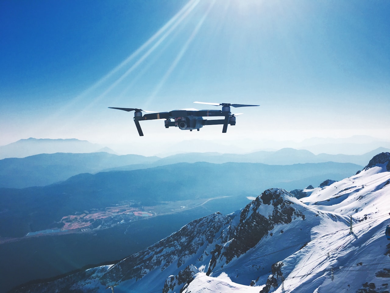
Singapore’s skyline, waterfront, and lush green spaces make it a particularly compelling location for aerial photography. From the Marina Bay area to Sentosa, from industrial estates to residential developments, drone footage captures the city-state’s unique geography in ways that resonate with both local and international audiences.
However, Singapore is also one of the most regulated airspaces in the world. The island’s small size, proximity of Changi Airport and military airbases, and dense population mean that drone operations require careful compliance with Civil Aviation Authority of Singapore (CAAS) regulations. Understanding these requirements is essential before planning any drone photography project.
If you need professional aerial content, our drone photography services team handles everything from permits to post-production.
CAAS Regulations for Drones in Singapore
Singapore’s drone regulations are governed by the Unmanned Aircraft (Public Safety and Security) Act and administered by CAAS. These regulations apply to all drone operations, whether for commercial, recreational, or research purposes. Non-compliance carries significant penalties including fines and imprisonment.
Registration Requirements
All drones weighing 250 grams or more must be registered with CAAS before they can be flown in Singapore. Registration is done through the CAAS unmanned aircraft registration system and requires the operator’s personal details and drone specifications. Each registered drone receives a unique registration number that must be displayed on the aircraft.
No-Fly Zones
Singapore has extensive restricted and prohibited airspace. Key no-fly zones include:
- Within 5 kilometres of Changi Airport, Seletar Airport, and Tengah Air Base
- Protected areas including Istana, military installations, and key government buildings
- Areas around prisons, power stations, and water treatment facilities
- National parks and nature reserves without specific approval
CAAS provides an interactive map (OneMap UA) showing permitted and restricted flying zones. Operators must check this map before every flight.
General Operating Rules
- Maximum flying altitude of 60 metres (200 feet) above ground level without an activity permit
- Drones must be flown within visual line of sight at all times
- No flying over or near groups of people
- No flying at night without specific approval
- Minimum distance of 5 kilometres from any aerodrome
- No dropping of objects from drones
Weight Categories
Regulations differ based on drone weight. Drones under 250 grams face fewer restrictions but still require registration. Drones between 250 grams and 7 kilograms are the most common commercial category and require registration plus compliance with standard operating rules. Drones above 7 kilograms require an operator permit and more stringent safety measures.
Penalties for Non-Compliance
Flying a drone in a restricted area or without proper registration can result in fines of up to SGD 50,000 and/or imprisonment of up to two years. These penalties reflect Singapore’s serious approach to airspace safety. There is no tolerance for non-compliance, and enforcement is active.
Permits and Licences You Need
Commercial drone photography in Singapore requires specific permits beyond basic registration. Understanding the permit landscape helps you plan projects with realistic timelines.
Activity Permit
An activity permit from CAAS is required for drone operations that fall outside standard operating conditions. This includes flying above 60 metres, flying in restricted areas (with justification), flying at night, or flying beyond visual line of sight. Activity permit applications typically take two to four weeks for processing and require detailed information about the planned operation including flight plans, risk assessments, and safety measures.
Operator Permit
Commercial drone operators who fly drones weighing 7 kilograms or more, or who provide drone services to third parties on a regular basis, need an operator permit. This requires demonstrating operational competence, maintaining insurance, and implementing a safety management system. Most professional drone photography companies in Singapore hold this permit.
Pilot Licence
While not strictly required for all commercial drone operations, holding a CAAS-recognised drone pilot certification demonstrates competence and is often required by insurers and clients. Several training providers in Singapore offer drone pilot courses that cover regulations, flight operations, and emergency procedures.
Additional Approvals
Depending on the location and nature of your shoot, you may need additional approvals from:
- National Parks Board (NParks): for flying in parks, gardens, and nature reserves
- Singapore Land Authority (SLA): for flying over state land
- Building management: for launching from or flying near private properties
- Police: for flying near events or in areas with large gatherings
- Town councils: for flying in residential estates
Timeline Considerations
Allow a minimum of four weeks for permit applications, and up to eight weeks for operations requiring multiple agency approvals. For time-sensitive projects, engaging a professional drone videography service that has standing permits and established relationships with regulatory bodies can significantly shorten the process.
Use Cases for Drone Photography in Singapore
Drone photography serves diverse business needs in Singapore. Here are the most common and impactful applications.
Real Estate and Property Development
Aerial photography and videography are standard tools for marketing residential and commercial properties in Singapore. Drone shots showcase a property’s location relative to amenities, transport links, and the surrounding neighbourhood. For new developments, aerial imagery tracks construction progress and provides buyers with a sense of the finished project’s scale and setting. Our real estate marketing services integrate drone content with comprehensive property marketing strategies.
Corporate and Brand Marketing
Aerial footage adds production value to corporate videos, brand films, and social media content. A sweeping drone shot of your office building, factory, or retail locations creates a sense of scale and professionalism. Tech companies, logistics firms, and hospitality brands regularly use drone content in their marketing materials.
Events and Conferences
Drone photography captures the scale and energy of outdoor events, festivals, and corporate functions. Aerial shots of event setups, crowd sizes, and venue layouts provide content that ground-level photography cannot match. These images work well for post-event reports, social media highlights, and promotional materials for future events.
Construction and Infrastructure
Beyond marketing, drones serve practical functions in construction. Regular aerial surveys document project progress, enable site inspections of hard-to-reach areas, and create orthomosaic maps for planning purposes. Construction companies in Singapore use drone data to improve project management and stakeholder communication.
Hospitality and Tourism
Hotels, resorts, and tourism operators use drone photography to showcase their facilities and surroundings. Aerial views of Sentosa’s beaches, Marina Bay’s waterfront, or a resort’s pool and garden areas create compelling visual content for websites, booking platforms, and social media.
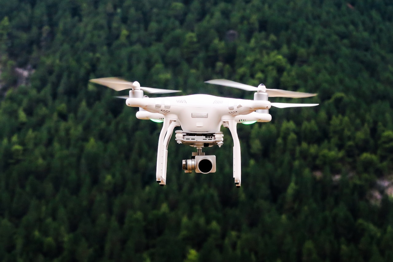
Industrial and Facility Inspections
Drones equipped with high-resolution cameras and thermal sensors inspect rooftops, facades, solar panels, and industrial equipment safely and efficiently. This reduces the need for scaffolding or rope access, saving time and reducing workplace safety risks.
For ground-level product and commercial photography, see our product photography services.
Drone Photography Costs in Singapore
Understanding the cost structure for drone photography singapore projects helps you budget accurately and evaluate quotes from different providers.
Typical Price Ranges
- Basic drone photography (2-3 hours, single location): SGD 800 to SGD 2,000. Includes 20-40 edited high-resolution photos, basic colour correction, and digital delivery.
- Drone videography (half day): SGD 2,000 to SGD 5,000. Includes 2-4 hours of flying time, edited video (1-3 minutes), colour grading, and licensed music.
- Full-day drone shoot (photography and video): SGD 4,000 to SGD 8,000. Multiple locations, comprehensive photo and video deliverables, advanced post-production.
- Project-based packages (construction monitoring, multi-session): SGD 1,500 to SGD 3,000 per session with volume discounts for recurring shoots.
Cost Drivers
- Permit requirements: shoots requiring activity permits add SGD 500 to SGD 1,500 in administrative costs and processing time
- Location complexity: congested urban areas, waterfront locations, and restricted zones increase costs due to additional safety measures and permissions
- Equipment tier: standard consumer drones (DJI Mavic series) cost less than cinema-grade drones (DJI Inspire 3 or custom rigs) equipped with higher-resolution cameras and better stabilisation
- Post-production: basic editing is typically included, but advanced colour grading, aerial panoramas, virtual tours, and complex video editing add to the cost
- Weather contingency: rain or high winds may require rescheduling, so factor in backup dates
- Insurance: reputable operators carry liability insurance, which is factored into their pricing
Value Considerations
Drone photography should be evaluated against the cost of alternatives. Helicopter aerial photography in Singapore starts from SGD 5,000 per hour. Elevated photography from building rooftops or crane platforms also carries significant costs and logistics challenges. Drone photography delivers comparable or superior results at a fraction of these costs.
How to Hire a Drone Operator
Choosing the right drone operator determines the quality, safety, and legal compliance of your project. Here is what to evaluate.
Licences and Permits
Verify that the operator holds a valid CAAS operator permit (if applicable) and drone pilot certification. Ask to see their registration documents and insurance certificate. A professional operator will provide these without hesitation. Do not hire operators who cannot demonstrate regulatory compliance — you share liability if something goes wrong.
Insurance Coverage
Commercial drone operators should carry third-party liability insurance of at least SGD 1 million. Some clients, particularly property developers and government agencies, require higher coverage. Confirm that the insurance is current and covers the specific type of operation planned.
Portfolio and Experience
Review the operator’s previous work, focusing on projects similar to yours. A drone operator experienced in real estate photography may not be the best choice for event coverage, and vice versa. Look for consistent image quality, good composition, smooth video footage, and variety in their portfolio.
Equipment
Ask about the drones and cameras the operator uses. For most commercial photography, a DJI Mavic 3 Pro or equivalent with a 1-inch sensor or larger produces excellent results. For cinematic videography, larger platforms like the DJI Inspire 3 with interchangeable lenses offer superior quality. The operator should have backup equipment in case of technical issues.
Safety Record
Ask about the operator’s safety protocols: pre-flight checklists, risk assessment procedures, emergency response plans, and incident history. Professional operators will have documented safety processes. This is not just a compliance matter — it protects your project, your property, and bystanders.
Post-Production Capability
Some drone operators specialise in flying and deliver raw footage, while others offer full post-production including editing, colour grading, and final delivery in multiple formats. Determine which model suits your needs. If you have an in-house creative team, raw footage may suffice. If not, end-to-end service is more practical.
Our video production services include drone photography and videography as part of comprehensive visual content production.
Planning a Drone Shoot
Proper planning maximises the quality and efficiency of your drone photography session. These steps ensure your shoot runs smoothly.
Location Scouting
Visit the location before the shoot day. Identify potential obstacles (power lines, tall trees, construction cranes), assess the surrounding area for safety, and determine the best angles and compositions. Check the CAAS OneMap UA for any airspace restrictions at the location.
Time of Day
Lighting dramatically affects aerial photography quality. The golden hours (shortly after sunrise and before sunset) produce warm, directional light ideal for most subjects. Midday sun creates harsh shadows and washed-out colours. For architectural photography, the blue hour (just before sunrise or after sunset) can create dramatic results but requires activity permit approval for night operations.
Weather Planning
Singapore’s tropical climate presents specific challenges. Rain showers can be sudden and localised. High humidity can affect lens clarity. Strong winds, particularly at higher altitudes, make stable photography difficult. Monitor weather forecasts closely and have backup dates scheduled. Avoid planning shoots during the northeast monsoon season (November to January) when extended rain periods are common.
Shot List
Prepare a detailed shot list before the shoot. Specify the angles, altitudes, and compositions you need. For video, plan the camera movements — orbits, reveals, pull-backs, and tracking shots — in advance. A shot list keeps the session focused and ensures you capture everything needed without wasting flight time.
Stakeholder Coordination
Inform relevant parties about the drone shoot: building management, security, neighbouring businesses, and event organisers. This prevents disruptions and ensures cooperation. For shoots at residential or commercial buildings, written permission from the management body is typically required.
Legal Documentation
Have all permits, registrations, insurance certificates, and permissions accessible on-site. Enforcement officers or building security may request verification. Having documentation ready avoids delays and demonstrates professionalism.
Post-Production and Deliverables
Raw drone footage and images require post-production to reach their full potential. Understanding what is involved helps you set appropriate expectations and budgets.
Photo Editing
Aerial photos typically undergo colour correction, exposure adjustment, lens distortion correction, and cropping. Advanced editing may include HDR processing (combining multiple exposures), panoramic stitching (creating wide or 360-degree views), and retouching to remove unwanted elements such as construction equipment or temporary structures.
Video Editing
Raw drone video is stabilised, colour graded, trimmed, and assembled into a cohesive sequence. Professional editing includes smooth transitions between shots, pacing adjustments, and integration with ground-level footage if part of a larger production. Music selection and sound design complete the video. Deliverables typically include a final edit in H.264 or H.265 format at 4K resolution.
Aerial Panoramas and Virtual Tours
Multiple aerial images can be stitched into interactive 360-degree panoramas that viewers can explore. These are particularly effective for real estate marketing, tourism promotion, and venue showcasing. The panoramas can be embedded on websites or hosted on platforms like Google Street View.
3D Mapping and Modelling
For construction, architecture, and planning applications, drone images captured using photogrammetry techniques can generate 3D models, elevation maps, and volumetric measurements. This requires specialised flight patterns and processing software such as Pix4D or DroneDeploy.
File Formats and Delivery
Discuss file format requirements with your operator before the shoot. Standard deliverables include high-resolution JPEG and TIFF files for photos, and MP4 files for video. Request raw files (DNG for photos, ProRes or RAW for video) if you plan to do further editing in-house. Deliverables are typically provided via cloud storage links for easy download.
Usage Rights
Clarify usage rights in your agreement with the drone operator. Most commercial engagements grant the client full usage rights for the commissioned content. Some operators retain portfolio usage rights. Ensure the agreement covers your intended uses including advertising, social media, print, and third-party distribution.
Frequently Asked Questions
Do I need a permit to fly a drone for photography in Singapore?
All drones weighing 250 grams or more must be registered with CAAS. For commercial drone photography that stays within standard operating conditions (below 60 metres, within visual line of sight, in permitted areas, during daylight), registration is the primary requirement. Operations that exceed these conditions require an activity permit. Most professional drone photography singapore providers hold the necessary permits and handle regulatory compliance on your behalf.
Where can I fly drones in Singapore?
Drones can be flown in areas that are not designated as restricted or prohibited zones. Large portions of central Singapore, areas near airports, military bases, and protected installations are restricted. Parks and open spaces in residential areas are generally permissible, subject to standard operating conditions. Always check the CAAS OneMap UA interactive map before planning a flight. Some locations that appear open may have temporary restrictions due to events or construction.
How much does drone photography cost in Singapore?
Basic drone photography sessions start from SGD 800 to SGD 2,000 for a 2-3 hour shoot at a single location. Drone videography ranges from SGD 2,000 to SGD 5,000 for a half-day session. Full-day shoots with both photography and video deliverables cost SGD 4,000 to SGD 8,000. Costs increase for locations requiring special permits, advanced equipment, or extensive post-production.
What happens if it rains on the day of the drone shoot?
Drones cannot fly safely in rain. Most professional drone operators include weather contingency clauses in their agreements, allowing the shoot to be rescheduled at no additional cost if weather conditions are unsuitable. Plan backup dates during the booking process. In Singapore’s tropical climate, morning shoots before typical afternoon thunderstorms often provide the most reliable conditions.
Can drone photography be used for indoor spaces?
Yes, specialised micro-drones such as the DJI Avata or custom FPV drones can capture dynamic footage inside warehouses, event venues, showrooms, and large indoor spaces. Indoor drone photography does not fall under CAAS outdoor airspace regulations, but building owner permission is required. Indoor flights require skilled pilots due to tight spaces and lack of GPS signal. Not all drone operators offer indoor flying, so confirm capability when hiring.